Home
Industries
Maritime
Maritime Satellite Surveillance
Smart Maritime solutions for safer oceans
Maritime surveillance has become a huge challenge, specifically in regions where maritime traffic represents the major economic interest. It requires reliable tools to allow efficient monitoring and fast decision-making.
Want to know more?
Helping you improve safety and security at sea
Our combination of systems, imagery and data, and digital services provides customers with a clear picture of the Maritime domain to support intelligence missions such as:
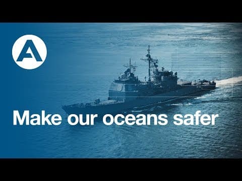
Making our oceans safer
2:13
- Detection of patterns of illegal behaviour at sea such as illegal fishing, narco-traffic, smuggling, immigration, piracy
- Ship detection, classification and identification (for cooperative and non-cooperative vessels)
- Support for naval forces and aerial operations for the interception of enemy boats, to optimise the use of traditional surveillance means (such as patrol vessels and aircrafts)
- Monitoring of traffic rules and restricted areas
- Navigational assistance
- Fleet management
- Assistance to search and rescue activities such as in case of hijacking
- Maritime pollution monitoring such as plastic pollution, oil spills and gulf weed
- Environmental management such as protected areas monitoring

Discover our Maritime systems and services
Thanks to our in-house, legacy Maritime expertise and extensive satellite constellation, we are in a unique position to provide real-time and non real-time remote monitoring services, systems and solutions for improved maritime situational awareness in territorial waters or Exclusive Economic Zones (EEZ).
STYRIS®
STYRIS® integrates the broadest range of maritime sensors (radars, cameras, AIS, ...) to deliver a real-time, recognised maritime picture that can support activities linked to Coastal Surveillance Systems (CSS), Vessel Tracking Services (VTS) and Critical Infrastructure Protection (CIP).
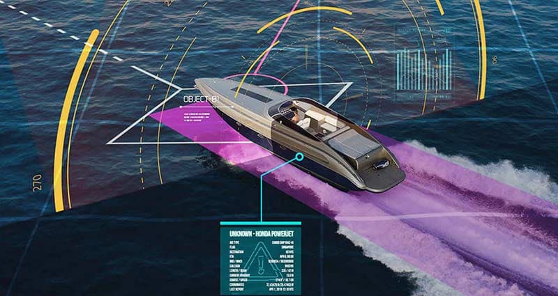

I4D - Intelligence for decision
Our I4D product is a powerful set of solutions for geospatial analysis of multi-source data and intelligence report production.
Imagery and data
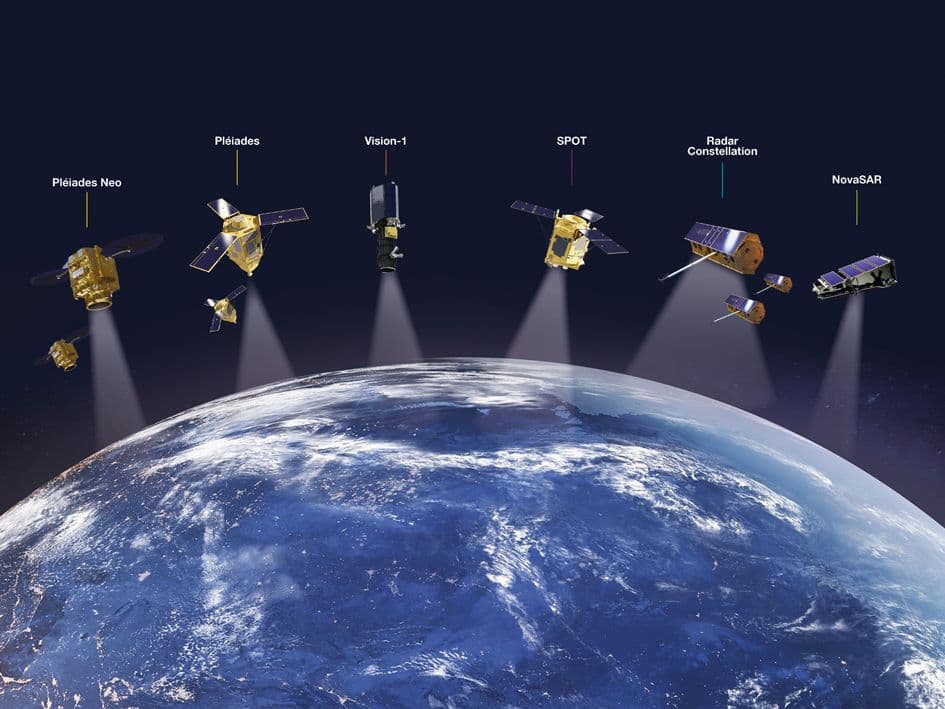
Data is at the heart of everything today. Thus our approach has always been to offer multi-sensor, multi-source, muti-resolution data. We provide you with access to our constellation made of optical and radar sensors, the largest commercial satellite constellation available today, as well as Radio-Frequencey (RF) data from our partner HawkEye 360.
Maritime domain awareness services
Satellites provide the ideal tools to remotely extend maritime surveillance capabilities from coastal areas to open seas. With expertise in big data, analytics and predictive analysis, Airbus is able to support improved surveillance capacities by providing automated reports or value-added analysis by our team of experts.

What our customers say
Our solutions are recommended by governmental and non-governmental entities as well as industry experts
Trusted all over the world
Want to go futher?
Our sales team would be happy to provide you with more information about our Maritime solutions and how they can meet your needs
Explore more possibilities
Browse our documentation on Maritime
- Airbus Pléiades Neo video for maritime


