Home
Newsroom
Case Studies
SPOT
SPOT enables the detection and...
Detection and Observation of Toxic Gulfweed using SPOT
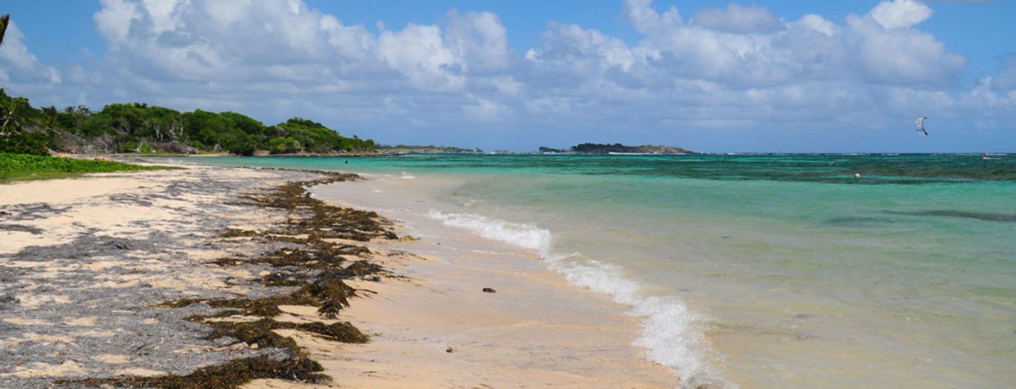
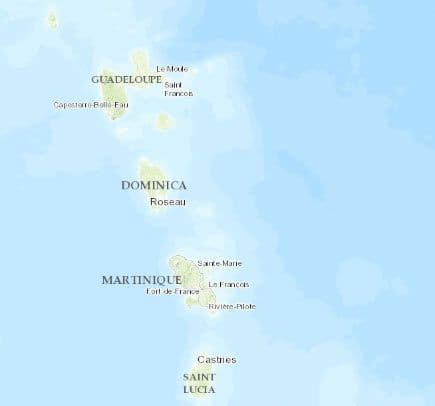
The gorgeous island of Martinique in the Eastern Caribbean Sea has been hit by a plague, called sargasse. This toxic and pestilential gulfweed has been increasingly polluting the beaches of the island since 2011.
In early October 2014 the local French Defence headquarter (FAA) sent soldiers to clean up the beaches of Martinique after a new sargasse beaching, as it presented a serious hazard for public health. The situation was turning critical: the ecological impact was tremendous, the local economic activity was hampered and tourism started to suffer significantly.
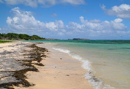
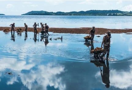
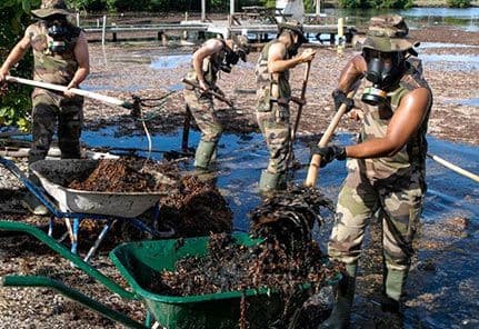
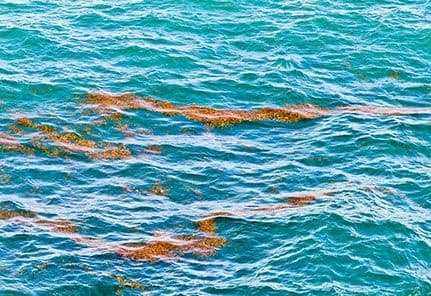
Caption: Sargasse in the ocean
Tackling the Disaster with Satellites
The French Navy contacted Airbus Defence and Space to help them detect the seaweed with spatial tools in order to observe the disparate items offshore.
Three crucial goals were at stake on the island:
- Restoring public health
- Responding to the ecological disaster
- Resurrecting the international attractiveness of Martinique
Collecting satellite imagery over extremely large and similar water surfaces with enough resolution to detect the dark-coloured seaweed was challenging.
With its large swath and high resolution, SPOT 7 matched the criteria of the request:
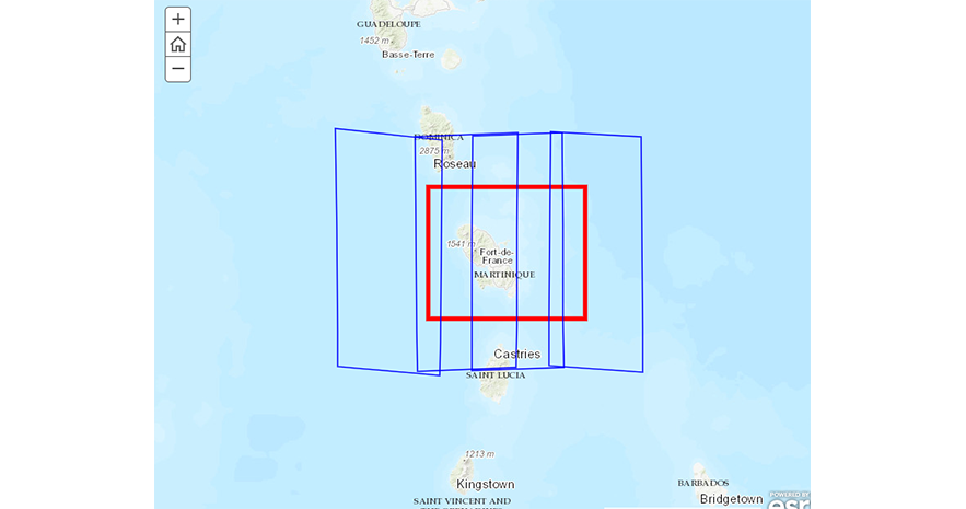
- October 16th, 2014: The satellite acquired 21,600km² with 1.5m resolution in which 163 sargasse hubs could be detected
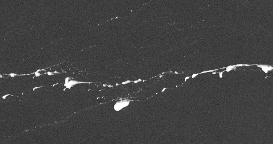
- October 18th, 2014: 18,000km² were collected on which 678 similar seaweed slicks were spotted.
A systematic detection of seaweed was achieved with a digital model of oceanic vegetation. The objective was to map it, determine its surface and eventually estimate its volume.
A combination of wind and stream models with weather forecast constituted a toolkit to establish the route, the quantity and the estimated beaching date of the sargasse.
With these datasets and extracted information, local authorities were able to efficiently respond to the ecological and economic crisis. Airbus Defence and Space also has the ability to develop a tailored monitoring solution in case the French Navy requires a frequent observation of the zone.
Image 2: SPOT 7 October 18, 2014 - zoom
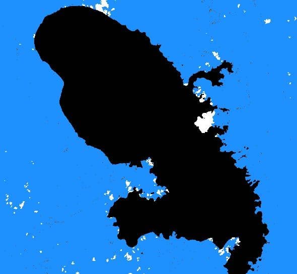
Image 3: SPOT 6/7 image of October 18th, 2014 processed with proprietary agriculture software (Overland™). Black: landmass; Blue: water surface; White: cloud presence; Brown: Sargasse
- Establishment of route, quantity and estimated beaching date of sargasse: quick access to a great quantity of reliable SPOT data
- Reduction of the impact of seaweed beaching: deploy nets off shore and trap part of the seaweed before it reaches the coasts
- Set-up of a coherent sanitary response to the crisis: efficiently manage human resources to clean the beaches and medical staff to help prevent illnesses from spreading to local populations and tourists
The French Navy is the maritime branch of the French Ministry of Defence. Its role is to ensure security on the French Exclusive Economic Zone of 11 Million km², the second largest one in the world after the United States.
Want to know more?
Our sales team will be happy to provide you more information about this case study and how it can meet your business needs.
