Airbus Logo

Defence and Space

Airbus Logo

Defence and Space

Airbus Logo

Defence and Space

Airbus DS : earth satellite and radar imagery provider

About Us

Your trusted imagery provider for geospatial data and Defence solutions
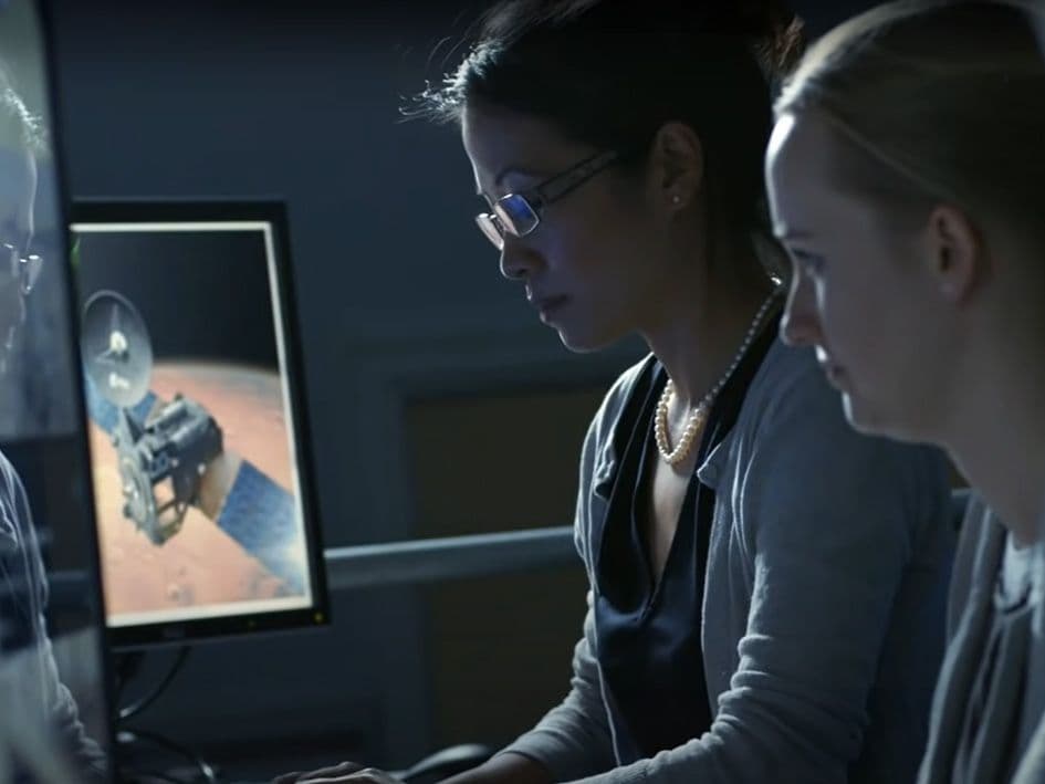
Your Trusted Partner for Geospatial Data and Defence Solutions preview video

The Airbus purpose (Look up)

2:18

The power of Airbus

"We pioneer sustainable aerospace for a safe and united world" - that is Airbus' purpose

As part of Airbus, we benefit from the power of a global leader in aerospace. This guarantees financial stability, intellectual capital and instills confidence in our commitment to being your long-term partner, delivering sustainable geospatial imagery products and services with trust. 


Airbus' Defence and Space division, which includes the Intelligence business, contributes to the defence and security of nations through its strong capabilities in military aircraft, intelligence and cybersecurity. Airbus' space technologies have a growing impact on people's daily life: from deep-space exploration and scientific missions to today's most reliable secure telecommunications and Earth observation satellites.

Geospatial Data and Defence Solutions Harald-mannheim-airbus

Take a decisive step

In today’s world, information is everything. At Airbus Intelligence, we serve customers in over 150 countries across more than 12 industry sectors - be it commercial, institutional or defence. Our unique portfolio draws upon 40 years of experience in Earth observation and Defence Systems, enabling our customers to respond to their challenges and missions with greater speed and precision.


Global leader in Earth observation

A unique Constellation with the most extensive Imagery solutions

Leading supplier for Joint ISR and Air Defence solutions

Supplier to France, Germany and NATO

Leading European supplier of Land C2 solutions

Easy-to-use Command and Control solutions

Data-driven and service-led

Adapting to changing market expectations and conditions

What sets us apart

Premium geospatial imagery

Proprietary satellite imagery and analytics to monitor our changing planet, whatever the needs - wide coverage, fine detail, intensive monitoring, premium reactivity, timely image acquisition or extensive archives.

The best intelligence

An unprecedented intelligence portfolio for defence, security and intelligence, providing a complete situational awareness picture. Our multi-intelligence solutions cover the full defence intelligence cycle. 

Driven by innovation

Working on cutting-edge technologies to better serve our customers and partners, continuously reinforcing our leading position in Earth observation and Defence Systems. Through partnerships with leading experts in the field, we never stop innovating to deliver high-end services to our customers.

A unique footprint for a global reach

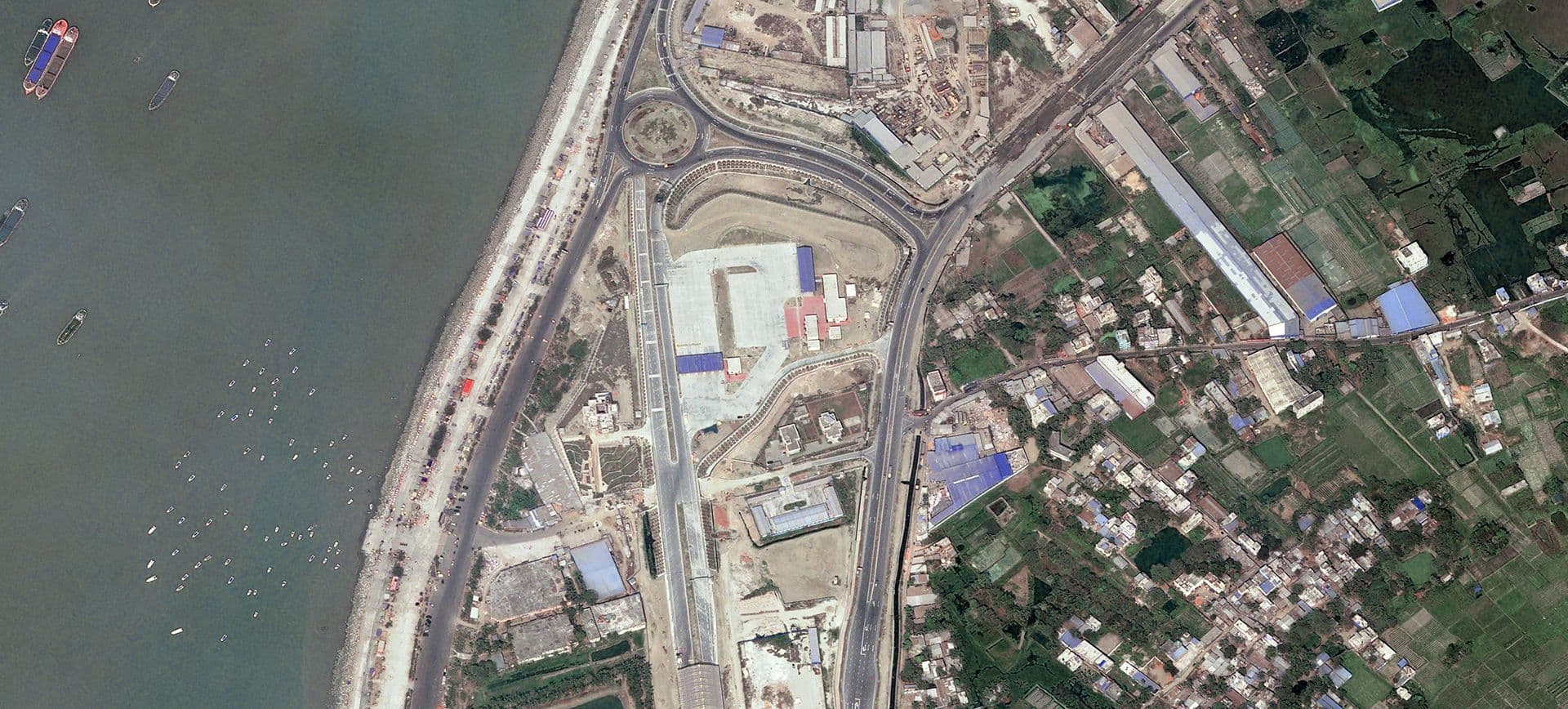
Your Trusted Partner for Geospatial Data and Defence Solutions image
Customers
  • 2,000+ customers in 150 countries
  • Including >300 Defence customers in over 30 countries
Partners
  • 145 resellers in 55 countries
  • 29 Direct Receiving Stations
Employees
  • 2,100 employees across 22 sites and 10 countries
Catch up with our latest news and events

See all
ID_Basemap_4x3.jpg
27 November 2023
Airbus selected as multi-year Basemap provider for the Netherlands Ministry of Defence

Airbus selected as multi-year Basemap provider for the Netherlands Ministry of Defence

ID4_Banner_Pleiades_Neo.jpg
23 November 2023

Pléiades Neo 2 years anniversary

Website_comms_banner.jpg
21 November 2023

We’ve got a treat for you!

The entire coast of Greenland is now ice free, unveiling spectacular, previously unknown landscapes through the lens of SPOT and Pléiades satellites.
18 October 2023

Sustainability | Climate Change: the New Landscapes of Greenland

SpatioNav system, a critical component of France's maritime surveillance infrastructure
13 October 2023

Airbus secures SPATIONAV MCO contract for Maritime Surveillance in France

Pléiades Neo image satellite - Geothermal power stations in Kenya - 30cm resolution
3 October 2023

Sustainability | Energy: Geothermal Power Stations

Space Reference Points consist of a worldwide set of 3D Ground Control Points (GCPs) and an associated set of image chips every 2km2, based on SPOT6/7 multi-stereo global coverage.
27 September 2023

Airbus Launches New SRP to support 3D applications