Home
Newsroom
Case Studies
Pléiades
FAO Uses Airbus Imagery to Est...
FAO Uses Airbus Imagery to Estimate Rice
Despite more than 379,100 km² of agricultural land, Afghanistan remains in food deficit. Rice is one of the three main food crop sources in the country. Monitoring rice crops using satellite imagery is therefore essential to ensure sustainable food and feed production for future generations. The Food and Agriculture Organisation (FAO) and Airbus are working together to obtain rice crop area estimation and create rice crop masks.
Challenge
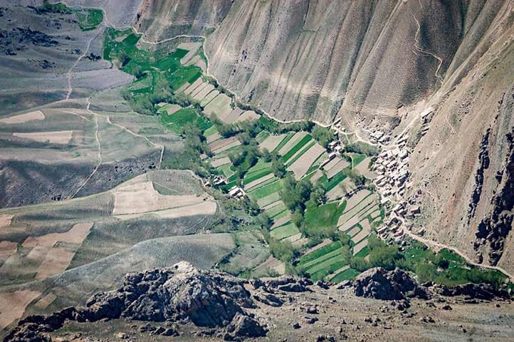
In a desert country such as Afghanistan, food production is highly sensitive to climatic conditions.
For organisations like FAO, assessing the extent of irrigated crops such as rice is critical to calculate food security and anticipate any shortages.
However, determining rice surfaces cannot rely on traditional ground surveys alone, as fields are numerous, often small and scattered across the landscape.
Our solution
FAO developed a crop calendar, outlining the unique pattern of the rice growth cycle.
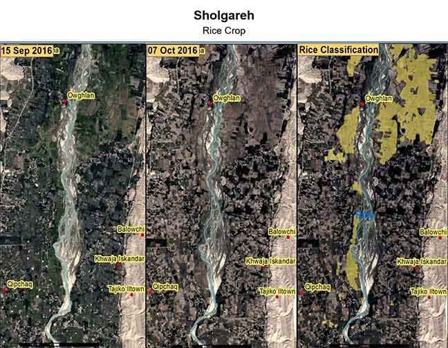
Based on this calendar, they then gathered satellite imagery over seven provinces, at key dates throughout the rice cycle.
Pléiades and SPOT images were collected before and after the harvest, in order to delineate parcels and establish homogeneous areas:
- Optimise sampling, minimise ground surveys and maximise efficiency
- Perform rice classification, with additional time-series based on Sentinel 1, Sentinel 2 and Landsat 8 earlier in the season.
As a result, the rice crop area was successfully estimated with less than a 10% error rate. They even achieved an accuracy of 96% in one particular province.

Benefits
The use of our satellite imagery, together with complementary free data sources allowed FAO to substantially reduce production costs of crops statistics, while maintaining the highest quality standards:
- Increased reliability of the produced statistics
- Reduced risk for ground surveying
- Improved cost-efficiency.
Want to know more?
Our sales team will be happy to provide you more information about this case study and how it can meet your business needs.
