Home
Imagery & Data
Reference Layers
3D, Elevation & Reference layers | Highly Precise 2D & 3D Information on a Global Scale
Enhancing your data with our highly precise range of geospatial information
The right 3D models and Reference Layers for all your projects
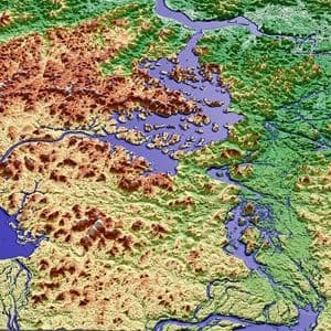
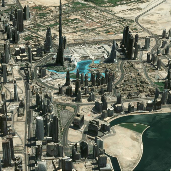
Airbus is your key 3D partner, offering on-demand and off-the-shelf digital elevation models and textured 3D models with the most comprehensive range of resolutions at global scale. We provide highly accurate information anywhere on Earth.
Highly versatile and flexible, our 3D products meet the usages of many industries, should it be: Defence (intelligence and mission planning), global and urban mapping, exploration and prospection, location-based services, aviation, infrastructure and civil engineering, smart cities... They even create foundations for your tailored Digital Twins, as they accurately and realistically replicate our world. Whatever your needs and your area of interest, you will find your elevation and 3D model here. All our elevation products are available in DSM (digital surface model) and DTM (digital terrain model).
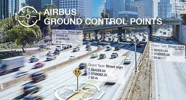
Our Reference Layers provide highly accurate, up-to-date global coverage to improve the geolocation of your ortho-imagery. Our Reference Layers fulfill a wide range of needs for Defence mission planning, targeting, global and urban mapping, aviation, infrastructure planning and much more.
Airbus 3D, Elevation & Reference Layers solutions
What our customers say
Our services are recommanded by industry experts just like you
Download sample data from the entire Airbus Constellation
