Home
Newsroom
News
Land Administration and Mapping
Airbus Launches New SRP to sup...
Airbus Launches New Space Reference Points to Support 3D Applications
Airbus expands its Reference Layer Portfolio with the launch of the Space Reference Points (SRPs), a new global reference layer product, to provide greater precision with highly accurate 3D reference positioning information anywhere on Earth- even where no ground-truthing is possible.
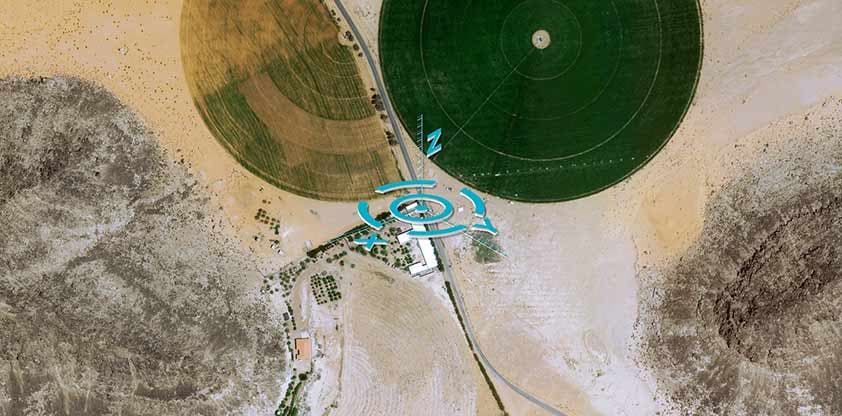
Space Reference Points consist of a worldwide set of 3D Ground Control Points (GCPs) and an associated set of image chips every 2km2, based on SPOT6/7 multi-stereo global coverage. The database is available off-the-shelf globally, supporting any resolution and can register all kinds of optical images, even with a poor native location. SRPs provides 3D information, supporting large-scale mapping projects for orthorectification and mosaicking purposes. Today, these products deliver an unmatched image chip resolution of 2m with an unprecedented accuracy of <3m CE90 globally.

Applications and Use Cases
There is a range of use cases that can be enhanced with SRPs. The focus tends to be on geometric registration, especially during orthorectification (the process of removing image distortions or displacements caused by sensor tilt and topographic relief), massive image processing, including sensor modelling, refining image locations and digital terrain assessment and many other 3Dapplications.
Some of these applications include:
- Ground segment image processing and orthorectification for satellite operators
- Highly precise, geometrically correct, orthorectified imagery, ideal for topographic maps and land surveying
- Reliable and highly precise airport data maps
- Large-scale mapping projects in urban and rural areas
- Support of border monitoring and weapon systems
- Modelling and planning of smart city concepts and Infrastructure
The SRP database is co-edited by the French mapping agency Institut National de L’information Géographique et Forestière (IGN) and Airbus.
The SRPs will complement Airbus Reference Layer portfolio with offering the most comprehensive range of Digital Elevation Models, global Basemap and GCPs providing highly accurate 2D and 3D information available on demand or off-the-shelf, locally or globally.


