Home
Newsroom
Case Studies
EMDYN Fusion Platform
EMDYN Platform turns multi-source data into actionable intelligence
Delivering valuable insights from high-resolution imagery from the Living Library in real-time

Organizations from governmental agencies for internal National Security to external Defence Intelligence increasingly need help to better understand the threats they face. They consume and analyse huge volumes of geospatial data, signal intelligence, satellite imagery and other information. The challenge for Intelligence Analysts is to extract actionable information from vast data banks drawn from these disparate sources plus clients’ own classified data sets and algorithms.
EMDYN turns data into actionable intelligence, safeguarding vital assets and supporting critical decision making. The core offering is the EMDYN Geospatial Intelligence Fusion Platform: a fully integrated data fusion and analysis system custom-built by EMDYN to meet the specific application needs of each end user. In its standard configuration, the solution comes equipped with analysis tools, as well as commercial geospatial data layers.
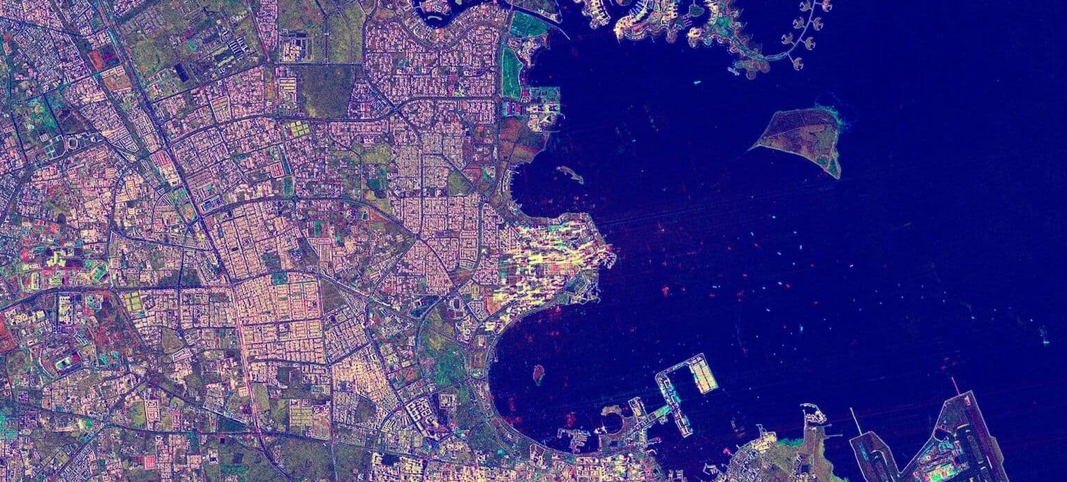
A key data set included with EMDYN Platform is optical satellite imagery from the Airbus Living Library. Connected via API, EMDYN’s software automatically searches the vast archive of satellite data to access imagery captured over the area of interest during the correct timeframe to match the analysis being conducted. The solution adds the imagery along with other data sets on a timeline for the analyst to access and view as required.
Depending on the applications, EMDYN can integrate the Platform with other sources of near real-time location-based data, such as maritime ship tracking, vehicular traffic patterns, and radio frequency signal emissions.
Additional data sets and information streams are being added continually to EMDYN Platform which is offered both as an on-premises or software-as-a-service solution. EMDYN is also making the Machine Learning capabilities more robust to provide extra support to analysts in examining a growing volume and broader variety of data sources.


- Deliver a complete picture of incidents, events, and situations: which empowers organisations to break down internal information silos so that diverse datasets can be viewed and analyzed relative to one another and understood within their full context.
“Our Platform brings all these data sets together in a single application and allows the analyst to fully understand the relationships between them,” said Van Renterghem.
- Make vital connections: which might otherwise have remained hidden as critical location-based intelligence is extracted at the right time to make informed decisions that neutralize threats against personnel and assets now and into the future.
- No need of advanced intelligence training: The system is appropriate for use by NGOs and civilian institutions in safeguarding their people and infrastructure locally and around the world.

EMDYN was established in 2008 in Switzerland and Belgium with a mission to help organizations to better understand the threats they face by turning data into actionable intelligence, safeguarding vital assets and supporting critical decision making. EMDYN Platform is a future-proof solution that integrates multi-source data into a single application, to provide reliable and rapid insights on situations, events or patterns of movement, to plan current operations and predict future possibilities. It connects the dots of who, what, when and where to give the analyst a complete picture and a full understanding of the relationships between data sets.
Our sales team will be happy to provide you with more information and how it can meet your business needs


