Home
Newsroom
Case Studies
Radar Constellation
Interferometric (InSAR) Analys...
Dam Monitoring with TerraSAR-X InSAR Analysis - An Effective Alternative to Terrestrial Surveying
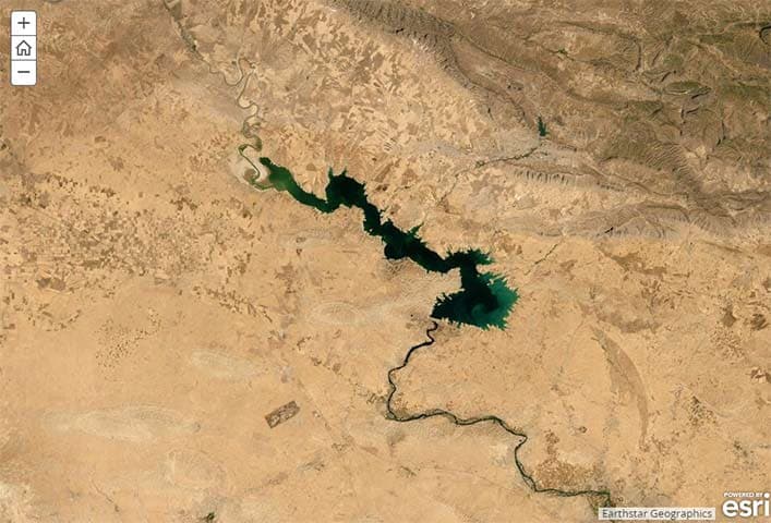
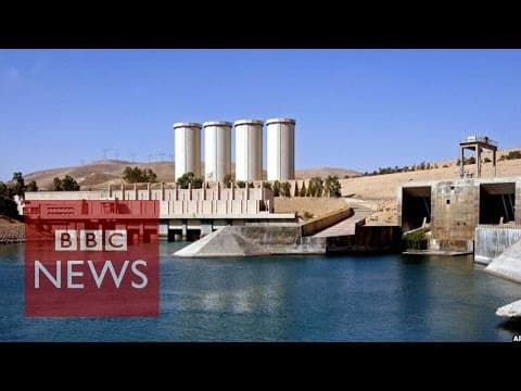
The Mosul Dam was built in the early 1980s. With a length of 3.65km and the crest elevation at 341m, the Mosul dam is the largest dam in Iraq. It is located in Northwestern Iraq on the Tigris River, upstream of the city of Mosul.

Challenge
The purpose of the Mosul dam in North-Western Iraq is to generate hydroelectricity and provide water for downstream irrigation. At full capacity, the structure holds around 12.5 million cubic metres of water and provides electricity to the 1.7 million residents of Mosul.
The dam is well known for its instability as the riverbed is made of unstable soft soil and gypsum, a mineral that dissolves as water runs through it. The structure has to be cemented daily in order to keep water from seeping through.
To monitor the structure’s stability, the U.S. installed sensors as an early warning system, as there are serious concerns that the dam could collapse and the consequences would be fatal: between 500,000 and 1.5 Million people would be at serious risk. A wall of water - up to 14m height - would be unleashed. Mosul would be devastated and even Bagdad, some 275 miles away, would be reached.
Airbus Defence and Space has helped to identify the risks in order to monitor the dam since April 2015.
Major Reconstruction Efforts
Concerns over the dam's instability have led to major remediation efforts.
Nevertheless independent and objective risk evaluation needs to be continuously completed in order to support local operators, in case of any irregular surface and related object motion to avoid serious incidents occurring.
More information about the Mosul Dam on Zeit Online.
Risk Monitoring with Satellites
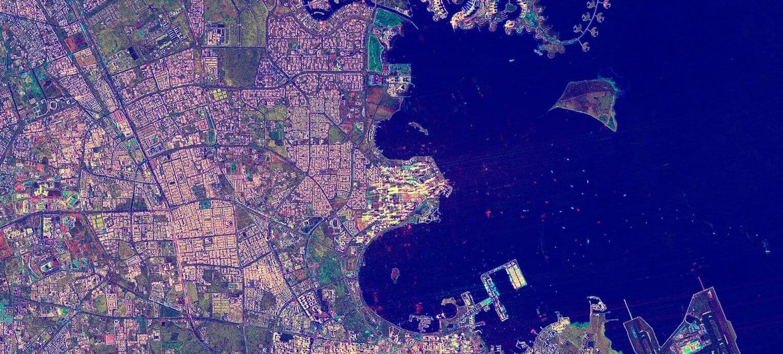
Airbus Defence and Space provided a TerraSAR-X based InSAR Analysis. More than 30 TerraSAR-X high-resolution SpotLight (1m resolution) scenes have been acquired, covering a one year time period between April 2015 and April 2016. Data has been processed with an approach to deduct information on surface uplifts and subsidence with millimetre precision.
WorldDEM™ digital elevation data, which is exclusively available from Airbus Defence and Space, was used to introduce accurate dam height information and achieve results of maximum precision.
InSAR Analysis
The significant surface motion of the dam crowns (up to 15mm per year) and surrounding areas can be observed.
The results showed a number of anomalies, which were either visible through pure vertical displacements of the surface (e.g. through underground dissolution) or lateral movements of the dam crown induced by water pressure of the reservoir and / or underground instabilities.

- Efficient and precise information about surface instability with millimetric precision, available in near real-time - ideal for guiding countermeasures like concrete injection
- Health, security and environmental (HSE) aspects are fulfilled due to remote character of measurements; No on-site staff involvement and risk exposure as well as no impact on the environment
- Wide area overview of surface motion also allows detection of non-predicted displacements potentially relevant for risk evaluation.
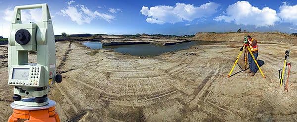
Radar based InSAR Analysis, is a sound complement to terrestrial surveying in general, whenever surface information or object movements is required.
Nevertheless, it is also an alternative in adverse conditions such as remoteness, climate, wilderness or when the social / political environment cause unwarranted risks for operating staff. Furthermore, the space-based solution offers a cost-saving potential due to significantly reduced effort and time for staff mobilisation and related safety measures.

Want to know more?
Our sales team will be happy to provide you more information about this case study and how it can meet your business needs.


