Airbus Logo

Defence and Space

Airbus Logo

Defence and Space

Airbus Logo

Defence and Space

How Industries Are Using Diverse EO Datasets to Efficiently Improve Insights

How Industries Are Using Diverse EO Datasets to Efficiently Improve Insights

A Two-Pronged Approach

The Airbus Constellation of optical and radar satellites offer a unique combination of capabilities that can provide data and ground truth to users as they solve complex problems.

In this webinar, co-hosted by TerraWatch Space, we will discuss multi-source data applications including: how multi-resolution satellite data is being used to provide value for crop intelligence, mining applications and urban monitoring.
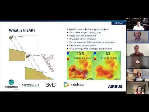
A Two-Pronged Approach: How Industries Are Using Diverse EO Datasets to Efficiently Improve Insights

Interested in getting started with Airbus imagery?

Hosted by:
r80130_9_aravind-ravichandran.png

Aravind Ravichandran

Founder

r80127_9_jessi-dick.jpg

Jessi Dick

Sr. Director of Marketing NA

@ Airbus Intelligence

r80133_9_jon-leighton.jpg

Jon Leighton

Director of Operations

r80136_9_kevin-krieg.jpg

Kevin Krieg

Business Development Director

r80139_9_allison-hill.png

Allison Hill

Data Scientist
 

Share

Event
Esri User Conference 2024
15 July 2024
Esri User Conference 2024

Empowering Insights with Accurate Satellite Imagery & Data

Disaitek_banner.jpg
9 July 2024

Pléiades Neo Applications Campus: start-up DISAITEK signs first agreement

Event
 Pléiades Neo HD15 webinar: Discover the use of enhanced visual rendering - July 2nd
9 July 2024
Pléiades Neo HD15 webinar
Event
Pléiades Neo high quality satellite imagery l Aigues Mortes, France l 30 cm resolution
1 July 2024
FOSS 4G Europe 2024
Event
 World of Coffee, Copenhagen - June 27-29th
27 June 2024
World of Coffee, Copenhagen - June 27-29th
pleiades-neo-ivanpah-usa-BANNER.jpg
26 June 2024

Solar power parks seen by Pléiades Neo

RosenheimDSMBlender.png
18 June 2024

WorldDEM Neo is reaching new heights with the Elevation Portal!