Airbus Logo

Defence and Space

Airbus Logo

Defence and Space

Airbus Logo

Defence and Space

r72924_9_headband-news-geoferma.jpg

Kick-off time for Geoferma Project!

Foundation of a comprehensive geospatial digital ecosystem for sustainable farming and water management in Uzbekistan
03/10/2022

28th February, Samarkand region: it’s kick-off time for Geoferma project!

To officially launch the Geoferma pilot project, on Monday 28th February 2022 representatives from the Uzbek Space Agency, Uzbek Ministries of Agriculture and Water resources, Samarkand Authorities, Uzbek farmers, the French Embassy in Uzbekistan and Airbus Intelligence met in Hokimiyat, located in the Samarkand region of Uzbekistan.
 

Funded by French Ministry of Finance through FASEP, Geoferma is based on Airbus’ geospatial solutions which combine satellite monitoring and agro modelling. This project will create a comprehensive geospatial digital ecosystem for sustainable farming and water management in Uzbekistan. These Agricultural analytics are essential for the country, where sustainably improving agricultural production for food security while preserving the environment are crucial issues.
 

The solution will be adapted to local conditions to deliver actionable insights, capacity building and therefore appropriation by Uzbekistan Authorities from ministries through to the farmers themselves.

#FoodSecurity #Sustainability #SmallholderFarmers #CommunityDevelopment #DigitalAgriculture #EarthObservation #WaterManagement #Cooperation #Uzbekistan #ClimateChange
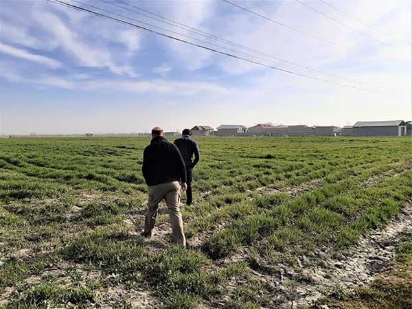
r72927_9_geoferma-project-team-uzbek-field.jpg

Geoferma project team in an Uzbek agricultural field
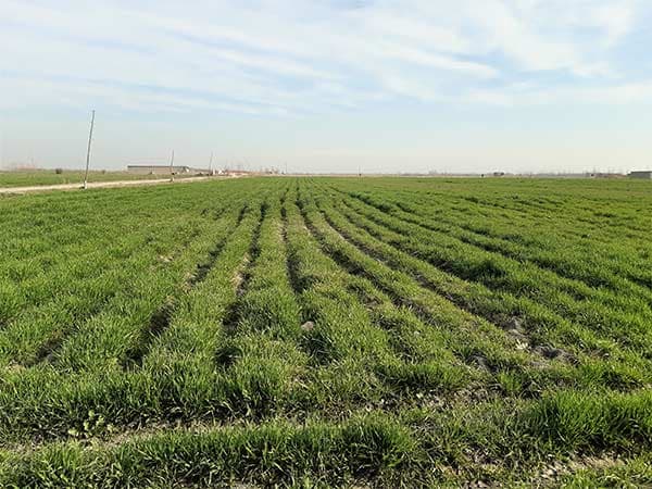
uzbek-agricultural-field.jpg

Uzbek agricultural field in Samarkand region

r72927_9_geoferma-project-team-uzbek-field.jpg

Geoferma project team and partners

Share

ID_Basemap_4x3.jpg
27 November 2023
Airbus selected as multi-year Basemap provider for the Netherlands Ministry of Defence

Airbus selected as multi-year Basemap provider for the Netherlands Ministry of Defence

ID4_Banner_Pleiades_Neo.jpg
23 November 2023

Pléiades Neo 2 years anniversary

Website_comms_banner.jpg
21 November 2023

We’ve got a treat for you!

The entire coast of Greenland is now ice free, unveiling spectacular, previously unknown landscapes through the lens of SPOT and Pléiades satellites.
18 October 2023

Sustainability | Climate Change: the New Landscapes of Greenland

SpatioNav system, a critical component of France's maritime surveillance infrastructure
13 October 2023

Airbus secures SPATIONAV MCO contract for Maritime Surveillance in France

Pléiades Neo image satellite - Geothermal power stations in Kenya - 30cm resolution
3 October 2023

Sustainability | Energy: Geothermal Power Stations

Space Reference Points consist of a worldwide set of 3D Ground Control Points (GCPs) and an associated set of image chips every 2km2, based on SPOT6/7 multi-stereo global coverage.
27 September 2023

Airbus Launches New SRP to support 3D applications