Home
Newsroom
Case Studies
WorldDEM™
Sustainable hydropower in Indo...
Sustainable Hydropower Programme Feasibility Study in Indonesia with WorldDEM DTM
The Indonesian State Electricity Company aims to implement a sustainable hydropower programme to meet Indonesia’s rising electricity demand.
Challenge
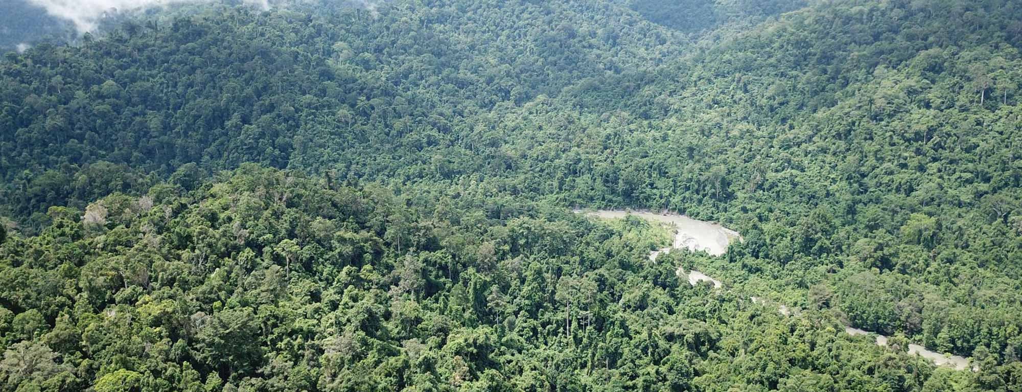
The Indonesian State Electricity Company, PT. PLN (Persero) aims to implement a sustainable hydropower programme to meet Indonesia’s rising electricity demand by rehabilitating existing and constructing new hydropower plants. PLN chose the Nua small hydropower plant (SHPP) project as one component of the programme. Tractebel Engineering GmbH and their entity Tractebel Hydroprojekt GmbH, in association with Indonesian Consultant PT Connusa Energindo, were appointed by PLN and KfW Development Bank to review, assess and update the existing feasibility study.
In order to improve the feasibility of the project and increase the energy production, it was found that the original plant design needed to be revised and new alternatives proposed.
Sites being often remote and hydrological, and limited in geological and topographic data, have created major challenges to fulfil the task and to provide reliable results in the early stage of the project.

Our Solution
Digital Terrain Models (DTM) were used to validate the ground survey topographical map. Furthermore, this solution offered a reliable and very accurate database essential to assess the feasibility study. It was used to estimate the hydraulic head and the energy production of the SHPP, to locate the main project components (e.g. weir, powerhouse), to assess the layout and the type of waterways and to estimate the catchment area. The use of DTM is essential to the planning process and the decision-making process.
Airbus WorldDEM is perfect to cover a global area and suited the need to cover a larger area. The plausibility of the ground survey topographical map can be checked with the WorldDEM and vice versa. As a result, Tractebel were able to confirm the sizeable deviations found in the existing topographical maps and developed the general alternatives for the SHPP Nua.
What is WorldDEM?
Airbus WorldDEM is a homogeneous global digital elevation model. Its very high accuracy surpasses that of any satellite-based global elevation model available today. WorldDEM DTM is derived from WorldDEM and represents the bare terrain of the Earth’s surface.
Benefits
Designing a small hydroelectric power plant (SHPP) requires precise and reliable data to make the right decision and select the best option. The very high resolution and accuracy of WorldDEM DTM is a real asset to gain time and validate a ground survey topographical map. It is also necessary for hydro study and engineering/infrastructure design.
Through its reliable database, it is possible to identify and address any gaps in order to optimise the design and the energy production. DEMs can therefore be used as a double-check tool - to review, validate and update a first feasibility study and plan the concept.
- Field investigations can be planned more effectively by determining potential areas in advance
- Accurate estimation of the available head for better calculating the power potential
- Proper evaluation of the hydropower feasibility demands estimation of various terrain parameters and flow characteristics provided by WorldDEM DTM
Tractebel Engineering GmbH (formerly Lahmeyer International GmbH) is an international company, which offers a broad range of planning and consultancy services. Tractebel Hydroprojektis one entity of Lahmeyer International specialised in planning and design, and consulting in the field of hydraulic engineering. PT. PLN (Persero) is an Indonesian government-owned corporation in charge of the electricity distribution.
Want to know more?
Our sales team will be happy to provide you more information about this case study and how it can meet your business needs.


