Home
Newsroom
News
Land Administration and Mapping
The Optical VHR2021 Coverage o...
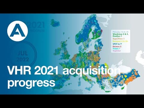
At the end of March, Airbus delivered to the Copernicus Space Component Data Access (CSCDA), the latest satellite imagery to complete the VHR IMAGE 2021 Optical Cloud-free coverage of 39 European States! Last month, the complete coverage over Europe was validated by ESA!
This cloud-free coverage is primarily composed of very high-accuracy cloud-free satellite ortho-images with a 2m spatial resolution acquired within the 2021 vegetation season, responding to the users’ needs as defined by the Copernicus Land Monitoring Service (CLMS).
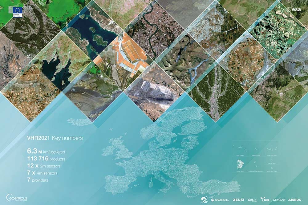
The Airbus-GAF consortium’s experience allowed to collect and deliver more than 6.3 million square kilometers consisting of Pléiades, SPOT and Vision-1, as well as the WorldView, GeoEye, Deimos, SuperView, Kompsat and TripleSat satellites.
This situational picture of Europe’s land and environmental conditions helps European institutions and governments understanding the shape and trend of Europe’s land mass and implementing their environmental and land management policies. The complete overview of Europe was previously updated for the Copernicus Earth Observation Program in 2018 and 2015 as part of the VHR2018 and VHR2015 Airbus-led projects.
The acquisitions started two years ago, just after the European Space Agency (ESA), selected the Airbus-led consortium with GAF to provide the Copernicus Earth Observation Programme with very high-resolution (VHR) fresh images of Europe.
To achieve very challenging requirements, Airbus set up a consortium with GAF (Germany) and gathered data from multiple providers (European & non-European) with prime/back up allocations.
The acquisition period lasted from April to October each year (2020,2021 & 2022).

- 6,3 M sqkm (continental Europe + DOM) to be covered at cell level (25km x 25km) by multispectral 2m and 4m data
- 12x 2m sensors and 7x 4m sensors, 7 providers!
- 2 Processing levels :
L1 (system corrected), L3 (ortho) products
- A consortium team of 35 people from France, Germany, Hungary
- Cloud collaboration platform:
GeoEngine
- Central processing chain (Pixel Factory) for product consistency (geometry, metadata and packaging):
over 113 716 images produced so far
- Very restrictive and challenging tasking parameters and requirements : - Cloud, cloud shadow, haze free coverage
- Restricted angle, short acquisition window
- And excellent geometry accuracy and overall product quality required

The dataset is available to Copernicus eligible users. To become a CSCDA user you need to register into the system or contacting the support service at: EOSupport@Copernicus.esa.int


