Home
Newsroom
Case Studies
Pléiades
OneAtlas Earth Monitor support...
Automated Monitoring of Supermarket Parking Lots
A global supermarket chain needed an automated, reliable method for counting cars in its store parking lots that was less expensive than manual processes.
Retail chains collect an enormous volume of information about their stores and customers. They use advanced data mining analytics to derive insights that give them a leg up on the competition.
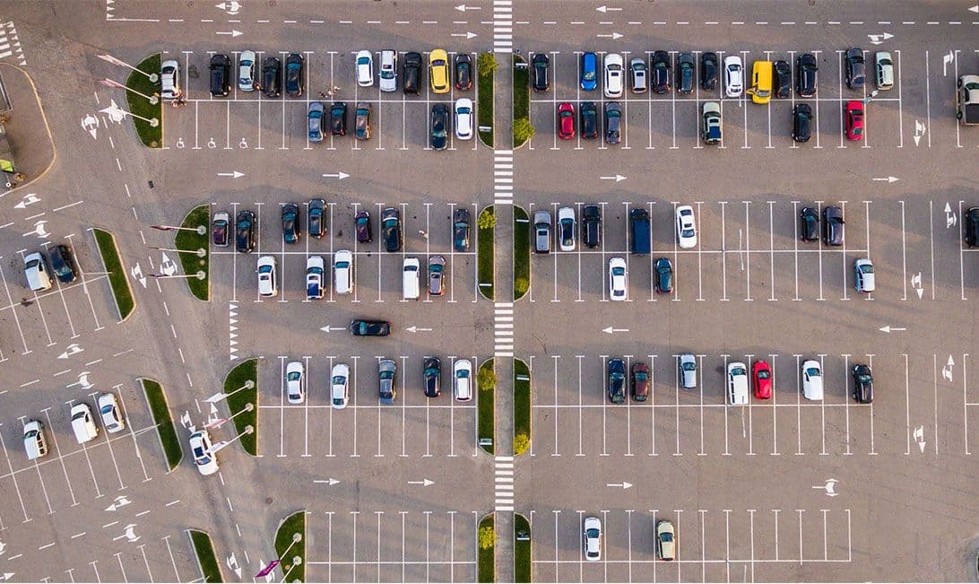
A favourite metric of retail chains, especially supermarkets, is the number of cars in the parking lots. If collected accurately and at the same time on specific days, automobile counts can be combined with other data to provide valuable snapshots of sales activity at individual stores or trends among retail locations.
Assigning car counting duties to grocery store employees, however, is expensive and introduces human error into the process.
Our Solution
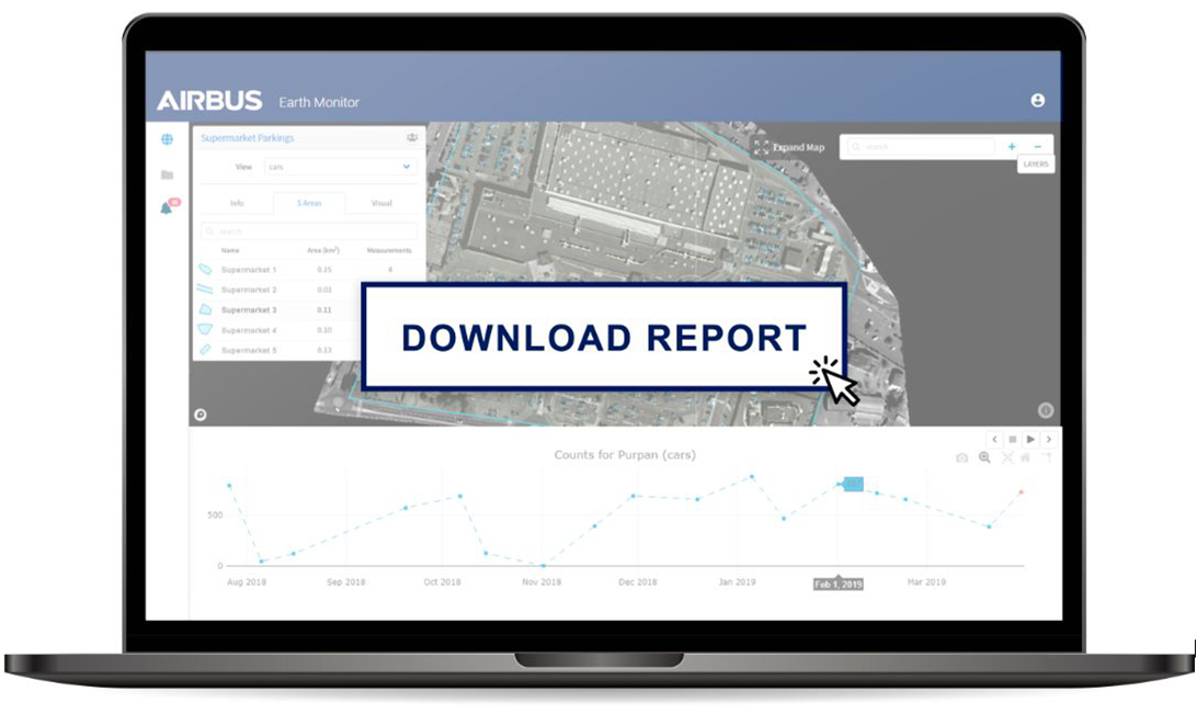
Earth Monitor provides automated car counting over a periodic basis, including retro-active counts from archived data.
Why use Earth Monitor?
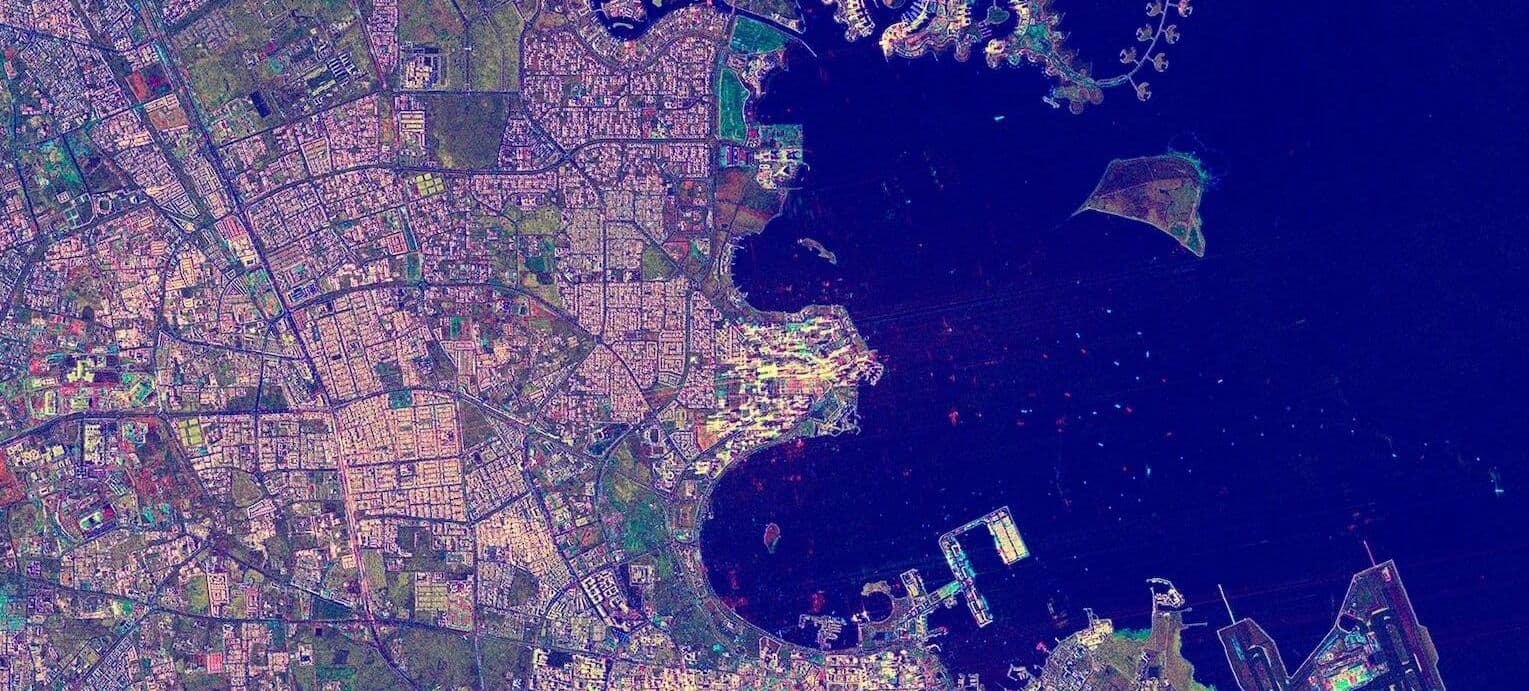
Image 1: An international supermarket chain subscribed to the OneAtlas Earth Monitor service to automatically count vehicles in its store parking lots.
How does it work?
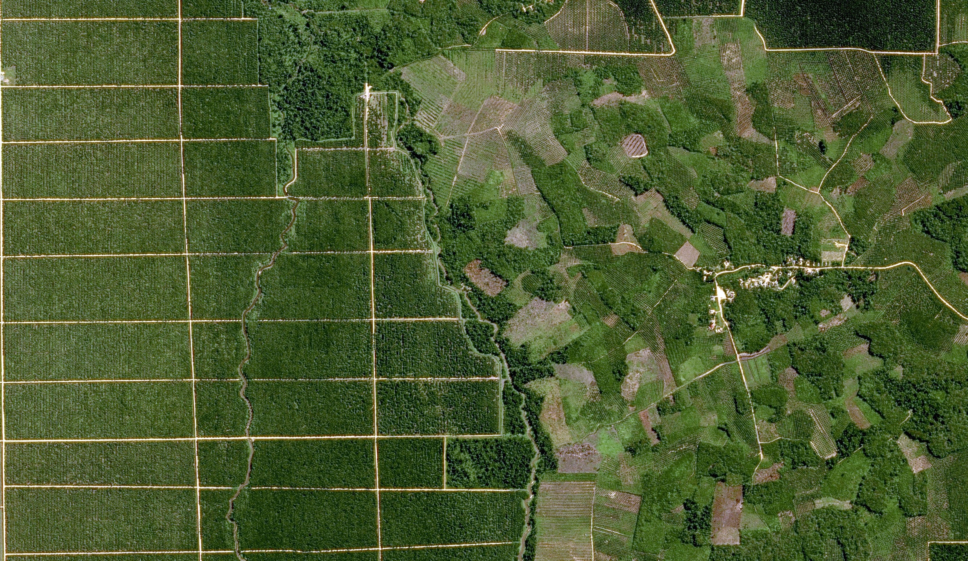
Image 2: On the project start date, the Pléiades satellites captured optical images of four test stores at 0.5m resolution. Earth Monitor obtained monthly images for each store in the Pléiades archive dating back one year.
An automated workflow developed by Airbus and Orbital Insight leveraged machine learning and artificial intelligence to analyse the imagery and extract the car count information for the client with precision and accuracy.
What is the objective?
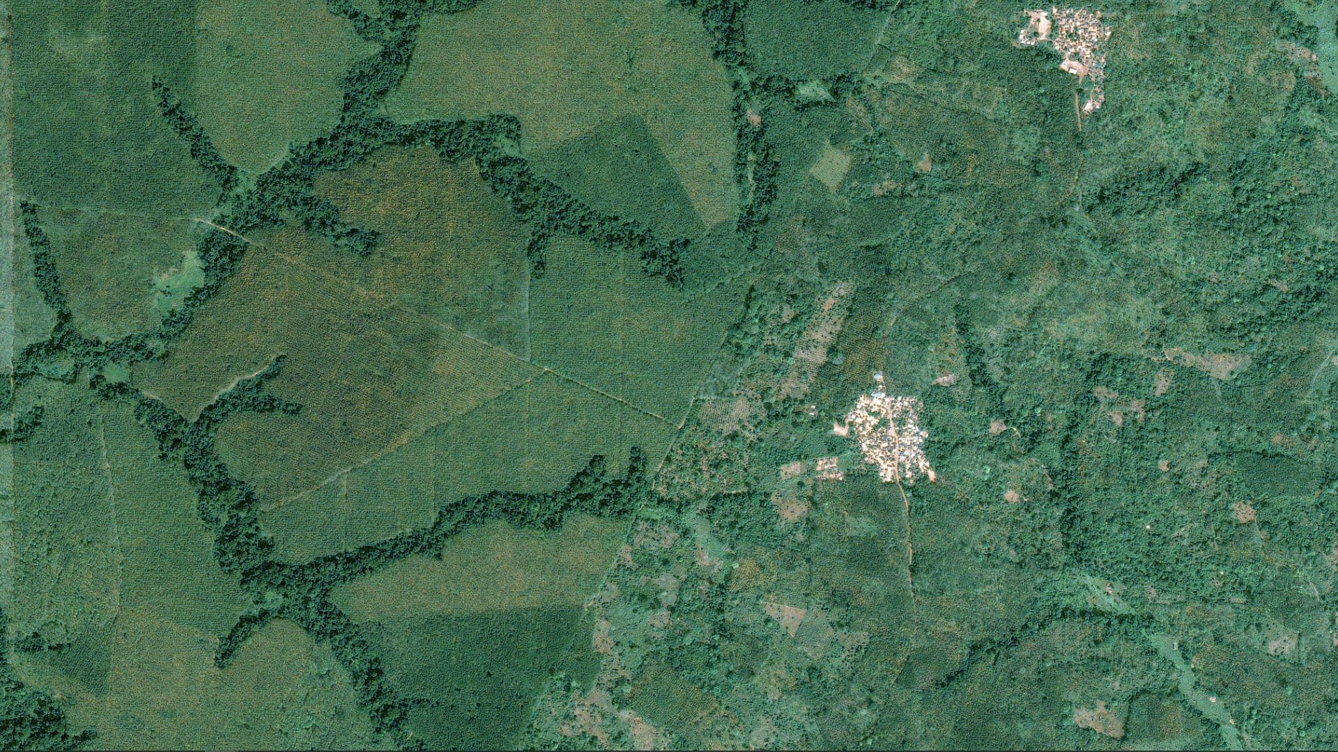
Image 3: Parking lot data is important information for supermarkets. Combined with internal spending details and local demographics, car counts may be analysed to evaluate spending trends by month, shopping differences between stores, and regional or global trends for an entire retail chain.
What is the deliverable?
Image 4: Starting in the present and going back in time for one year, Earth Monitor provided the client statistical reports on the number of vehicles parked at its stores.

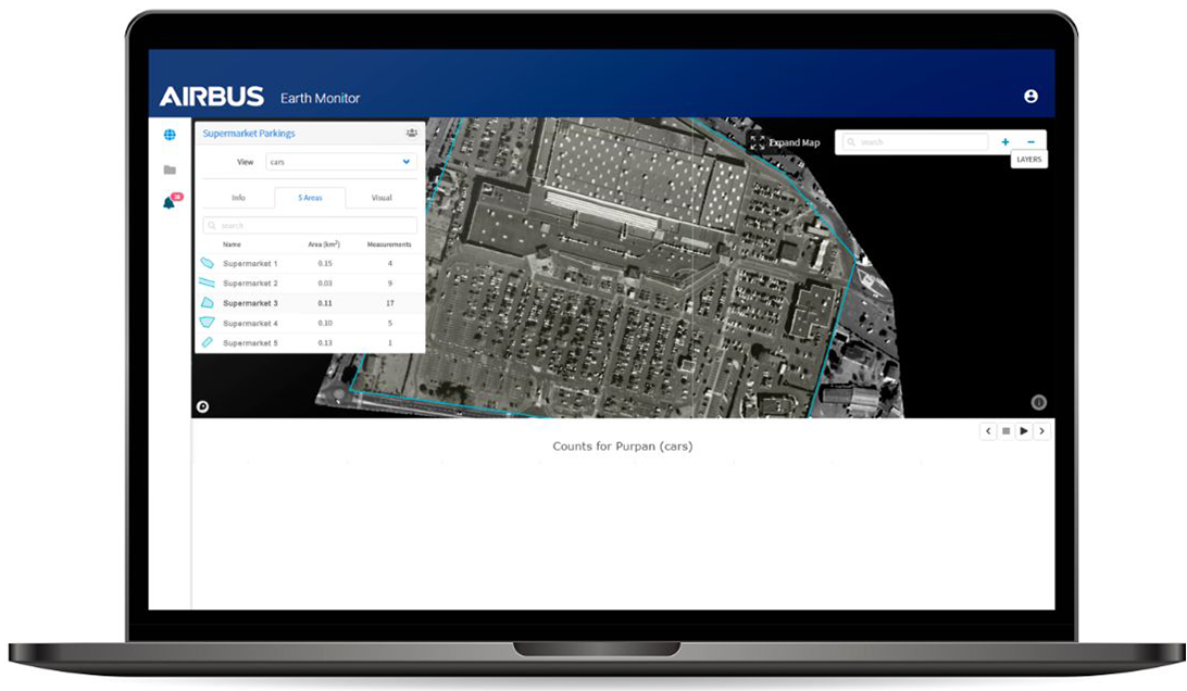
Car counts extracted from satellite imagery by the Earth Monitor service are more accurate and less expensive than relying on manual techniques.
The client improved the accuracy and cost-effectiveness of its car counting process. Rather than assign employees to perform the counts manually, Earth Monitor extracted the desired information from satellite imagery on schedule and without error.
Want to know more?
Our sales team will be happy to provide you more information about this case study and how it can meet your business needs.
