Home
Industries
Defence
Joint ISR
Mono-Domain Exploitation
Fortion® Terra Analyst
Fortion® Terra Analyst
Boost your geospatial data capabilities with the Operational Image Exploitation System
Fortion® Terra Analyst is an efficient solution designed to extract information from satellite images regardless of your experience in geographic imaging.

What is Fortion® Terra Analyst?
Fortion® Terra Analyst is an efficient and intuitive solution to quickly extract information from satellite images regardless of your experience in geographic imaging. Fortion® Terra Analyst displays a quick and simple access to a large amount of data.
With no complex pre-processing or pre-treatment, Fortion® Terra Analyst is the quickest way to build an analysis report from geospatial data.
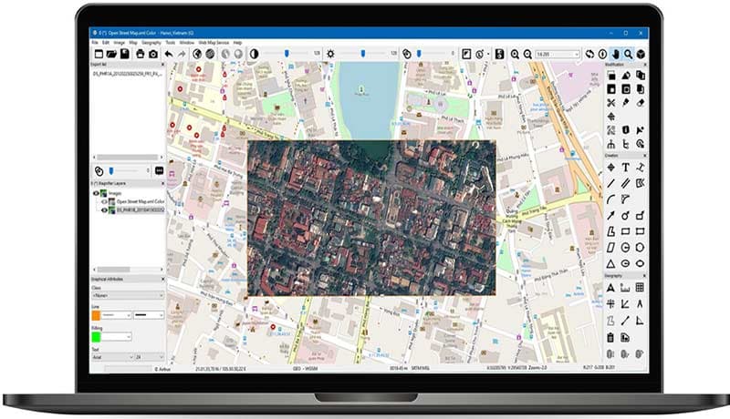
Users can immediately start to examine the image, launch analytics, create a complex vector map with semantics and prepare a report using standard tools. Introducing our cutting-edge analytics tool that allows users to accurately detect specific objects on satellite imagery.

How the Fortion® Terra Analyst can support
Its intuitive and powerful interface results in a significant reduction of training time for every user within your organisation, making satellite data accessible to all end users and decision makers.
Key features
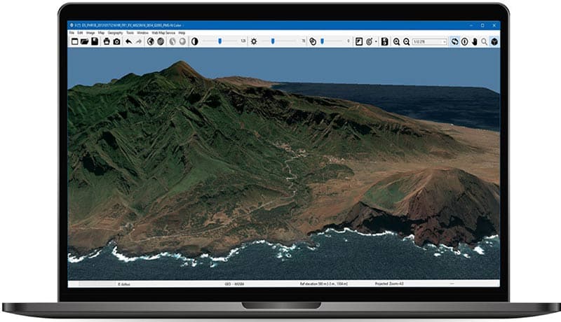
- High performance 3D preview
- Interoperability with other Airbus solutions or your own solutions
- Major image and vector file formats supported
- Automatic object detection on demand (ground vehicle, ship, aircraft, building)
Initially developed for military use, Fortion® Terra Analyst is designed to deliver up-to-date data to help with quick and informed decisions.
Your advantages with Fortion® Terra Analyst
Fast and easy imagery display More than 20GB worth of imagery (JPEG2000) or maps containing more than 100,00 features are easily and quickly displayed and browsed.
Data excellence Using native satellite products
Easy report creation It becomes easy to produce specific vector layers (Shapefile, KML) and export images to JPEG2000 or Geospatial PDF (with vectors).
A significant reduction of training time for every user Highly intuitive and easy-to-use solution, enabling beginners and confirmed image analysts to quickly use Fortion® Terra Analyst
Our sales team will be happy to provide you more information about the Fortion® Terra Analyst and how it can meet your business needs.

Explore more possibilities
Browse our documentation about the Fortion® Terra Analyst


